
LIDAR +
PHOTOGRAPHY =
LIDARGRAPHY
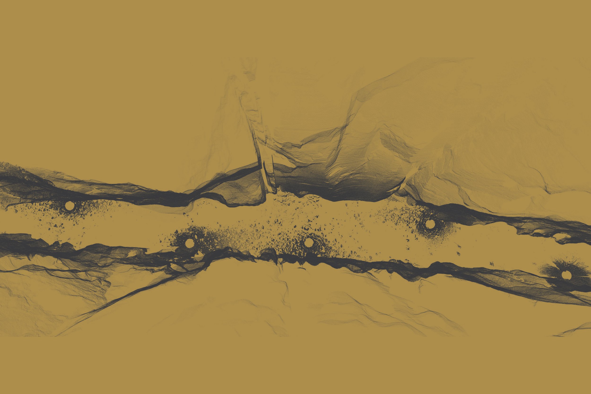
LiDAR (Light Detection and Ranging) is a 3D capture method that uses laser pulses to measure the distance between an object and the laser scanner.
I use high-end Leica survey equipment to collect 3D scans of anything and everything — often geological wonders — in order to create 2D and 3D artwork with the data. Back in the studio, I use a virtual camera to take photographs of the alien pointillism landscapes. The results are recorded in the prints from the collections below:
COLLECTION 00137°18'16.5" N 112°56'54.7" WThe Narrows
Zion National Park, UT, USA

COLLECTION 00236°09'18.3" N 107°56'07.4" WAh-Shi-Sle-Pah
Navajo Nation, NM, USA

COLLECTION 00336°57'16.0" N 111°54'12.1" WWhite Pocket
Vermillion Cliffs National Monument, AZ, USA

COLLECTION 00419°18'25.2" N 155°08'43.3" WHolei Pali
Hawaii Volcanoes National Park, HI, USA

COLLECTION 00518°28'48.5"N 69°50'36.2"WLos Tres Ojos
Santo Domingo, Dominican Republic

COLLECTION 00641°20'53.3"N 70°50'13.5"WAquinnah Cliffs
Martha’s Vineyard, Massachusetts